NICO DITCH UPDATE
For the original website article about the Nico Ditch by Julie Ryan, please see below. Since the Nico Ditch section of this website was first created, more evidence has been found, underlining the historic importance of this feature. The archaeological report produced for MMU in 2020 cast doubt on its significance, even querying whether it was the Nico Ditch. In response, the Friends of Ryebank Fields commissioned an expert on the Nico Ditch, archaeologist Doctor Michael Nevell, to produce a report. This 2021 report made clear that the feature in Ryebank Fields was indeed part of a continuation of the Nico Ditch west from Platt Fields. The alignment of field boundaries and ditches west of Hough Moss as far west as Chester Road in Stretford provide crucial evidence, with OS mapping of the Stretford area in the 20th Century actually marking the Ditch. LIDAR data from 2019 also suggested the alignment of the feature in the Ryebank Fields/Longford Park area. Moreover, a 1758 estate plan of Chorlton makes clear that there was a ditch west of what became Manchester Road, which was then incorporated into a canal feeder which ran from Withington, across Ryebank Fields and Longford Park, to reach the Bridgewater Canal in Stretford. This canal feeder is historic in itself, as it was the first canal feeder built when the Bridgewater Canal began to be extended south from Stretford in 1763. Dr Nevell has followed up his 2021 report by writing up articles published in ‘Transactions of the Lancashire and Cheshire Archaeological Society’ in 2023 and in ‘Offa’s Dyke Journal’ in 2025. See below for the full text of the latest article.
Richard Bond
ORIGINAL WEBSITE ARTICLE
A section of Manchester’s historic Nico Ditch runs through Ryebank Fields. The Nico Ditch is a six mile earthwork which runs across South Manchester from Ashton Moss in the East to Moorside, Urmston in the West. Other parts of the ditch in Platt Fields and at Denton golf course are listed as Scheduled Ancient Monuments by Historic England. As it stands the ditch in Ryebank Fields is deemed to be a “nationally important but non-scheduled monument” and therefore any works in its vicinity require consultation.
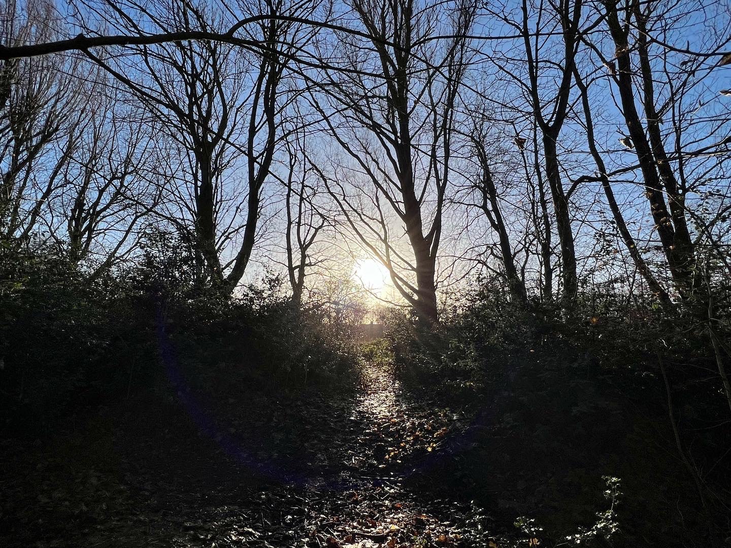
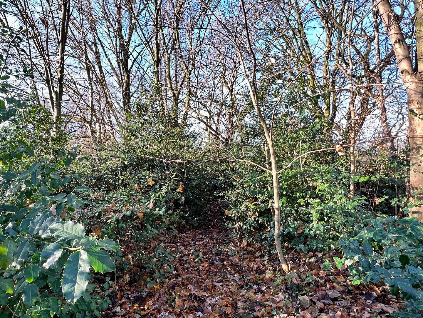
The Nico Ditch dates from the Anglo-Saxon period somewhere between AD 600 and the tenth century. It forms part of an ancient linear frontier or boundary between the old Anglo Saxon Kingdoms of Mercia and Northumbria. Another example of its type is Offa’s Dyke, which forms the ancient boundary between England and Wales. Structures akin to Nico Ditch also resonate closely with Roman frontier works such as Hadrian’s Wall. Evidence of its existence can still be seen in Audenshaw, Gorton, Reddish, Levenshulme and Platt Fields, however, the section in Ryebank Fields is one of the few parts of the ditch still to remain in the West; much of it having been built over or lost.
The word Nico is Anglo-Saxon in origin and may have been derived from Hnickar, a water spirit who seized and drowned unwary travellers. An alternative derivation is that Nico comes from nǽcan, an Anglo-Saxon verb meaning ‘kill’. It is also referred to as both ‘Mykelldiche’ and `Magnum Fossatum’ meaning the ‘great ditch’.
Legend has it that Nico Ditch was completed in a single night by the inhabitants of Manchester, as a protection against Viking invaders. It was said that each man had an allocated area to construct, and was required to dig his section of the ditch and build a bank equal to his own height. According to 19th century folklore, the ditch was the site of a battle between the Saxons and Danes; the battle was supposed to have given the nearby towns of Gorton and Reddish their names, from ‘Gore Town’ and ‘Red-Ditch’ but in reality it is more likely that the names derive from ‘dirty farmstead’ and ‘reedy ditch’ respectively.
By Julie Ryan
NICO DITCH
So how do we choose to draw the line?
If it’s small we make a scratch,
But if it’s to hold back an army
perhaps we need a ditch.
And if it’s for one night only
then each man has his part
With spade or sword he cuts the earth,
or at least he makes a start.
Now Nico runs beyond 5 miles
and no doubt stretched much more.
Was it the army of the Danes
that Nico stood before?
Some say it was merely a border,
agreed without a fight.
But if it was just a line like that
why fix it all one night?
And how much now is missing?
Some streets still follow its course.
And what lies under the reservoir
that the water holds by force?
There’s some would call it MIckle Ditch
to mark it out by size.
But then the city grew larger still
beneath the smoky skies.
There’s some who’d build upon it
as a way to pass the test
But I say leave it as it is
Where the sparrowhawk builds its nest!
by Mark Abraham